Tuesday, January 31, 2012

Hope Ranch

Hope Ranch, Santa Barbara County, California

Welcome to Hope Ranch! After biking through here one day last week I just knew I had to come back with my camera.   

I have only traveled over a small portion of this community, primarily through the main road Las Palmas Drive, but couldn't help but be amazed at the beauty of the land and the obvious wealth of those that live here.    
Hope Ranch is a private community managed by a homeowners association and the board of Hope Ranch. The 1863 acre site has about 2,200 residents and is guarded by the Hope Ranch Patrol, a privately hired law enforcement agency governed by the Hope Ranch board.
This website grab gives one look at life in Hope Ranch.
The attached link gives a look at one of the average priced homes in Hope Ranch. Realtor's link     
Unfortunately, I had to be satisfied with stopping my bike and taking pictures from the road as this and the following pictures show.
The landscape of Hope Ranch is very hilly, thus it makes for a good training area for bike riding, so I'll likely be back to explore the roads I haven't yet traveled. I'll probably leave my camera behind in the future though, don't want the Hope Ranch patrol arresting me for picture taking.


Wednesday, January 25, 2012

The Monarchs

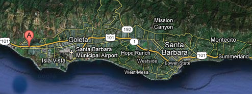
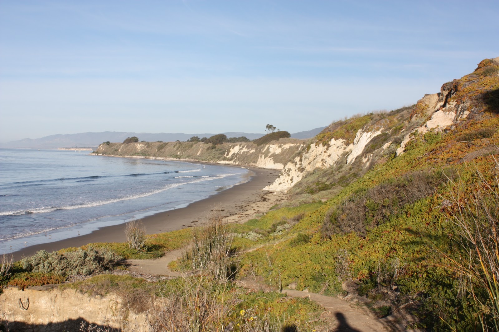
Not far from our condo unit is a very special place. It is grove of eucalyptus trees that provide shelter for wintering Monarch butterflies. To get there we only have to cross the street and take a ten minute walk to reach this amazing place. 
The beginning of the path, just off the roadside, is a little rubbish strewn but it soon gets better.
In this early morning picture the sun is still low, leaving long shadows in the woodlands. The ground cover is made up of nasturtiums. My own experience with them is that they usually die off after the first frost meaning for them to be a thriving naturalized ground cover in this area, frost is really rare.
Getting close.


The Gateway.
This is it!

The Monarchs seek shelter in the trees flanking this ravine.
Another look at the ravine from a path that runs alongside it.
At first glance this might look like a clump of dried leaves, but look closer.
Monarch butterflies.
Some of the clumps can be quite huge.
As the day warms many take flight.
Some just hang out in the sun.
By mid-February the Monarchs in this grove will begin making their way up the coast west of the Rockies. The Monarchs that populate the country east of the Rockies winter over in Mexico, Florida, and even Cuba. Estimates of how many Monarchs winter over in this grove range from 50,000 to 200,000. The populations wintering over in Mexico are estimated to be in the millions. Hope you enjoyed this.


Tuesday, January 24, 2012

New Home


Technically, we are not living in Santa Barbara but in the town of Goleta to the west of Santa Barbara. Goleta had been considered part of Santa Barbara until it incorporated in 2002. It is close to UCSB and in our location we are just a short walk to the ocean to our south and the mountains are not far away to the north. 
 
We are living in a condo complex called Eucalyptus Grove.
The above is a layout of the complex grounds. 

The complex has a jacuzzi, heated pool, sauna and, small gym all nearby. Soaking in the jacuzzi after a long bike ride is such a pleasure.
Our condo is a two bed, two bath, unit with a back balcony overlooking a creek bed.
The balcony doubles as the washer/dryer location to save interior space. Freezing temperatures are rare here so frozen pipes are not a concern.
Every unit has it's own parking space, this is ours.

Up next: THE MONARCHS


Monday, January 23, 2012

Getting There

Santa Barbara bound


This post is a quick summary of our eight day trip to Santa Barbara. Picture taking while on the road was very limited for reasons that I won't go into here.

Day 1: Westfield, MA to Erie, PA. A beautiful day for driving.

Day 2: Erie, PA to Louisville, KY. Not such a great day for driving, heavy overcast, some rain and, a snow squall in Cincinnati. Pizza at Impellizzeri's. Why is Louisville spelled this way when they pronounce it as Louieville?

Day 3: Louisville, KY to Springfield, MO. Springfield, MO was not very memorable except for a very nice breakfast at a place called Gailey's. Fortunately we were among the earliest customers because reviewers complain about service usually being slow. One reviewer comments:
Gailey's was around when Bonnie and Clyde burned through Springfield. I have to add Gailey's to my "5 Must List" when dining Springfield landmarks. The food is just so-so but who cares. Go to say you've eaten here and be proud of it.
Day 4: Springfield, MO to Amarillo, TX. A lot of flat open country that allows speed limit postings of 75mph. 

Day 5: Amarillo, TX to Albuquerque, NM. A lot of flat land for miles and miles, then we head up into the hills leading to Albuquerque. So beautiful though. Picture below taken in Albuquerque Old Downtown.


Day 6: Albuquerque, NM to Flagstaff, AZ. Light rain, light snow flurries, and heavy winds on high mountain passes. Still a wide open landscape though. Picture on the road.

Day 7: Flagstaff, AZ to Kingman, AZ with a side trip to the Grand Canyon. For more GC pictures visit my Flickr site @ http://www.flickr.com/photos/stillpeeks/sets/72157628919337263/
Day 8: Kingman, AZ to Santa Barbara, CA. We made it!
Tomorrow our new home!